Estonia's long-distance hiking routes
Immerse yourself in nature on a multi-day trek on one of the four RMK long-distance hiking trails. Grab your pack and test your endurance!
Crisscross the country on foot
Estonia's four long-distance routes provide over 2,000 kilometers of trails and endless opportunities for multi-day hiking trips.
These four hiking routes may not have the renown of the Appalachian Trail or the Camino de Santiago, which means they also don't have the crowds. Even in the middle of summer, you'll likely have much of the trail to yourself.
When is the best time to start out on a long-distance hike?
Estonia's hiking trails are open 24/7 year-round. However, each season has its pros and cons. Read our guide to hiking in Estonia for when to go and how to prepare.
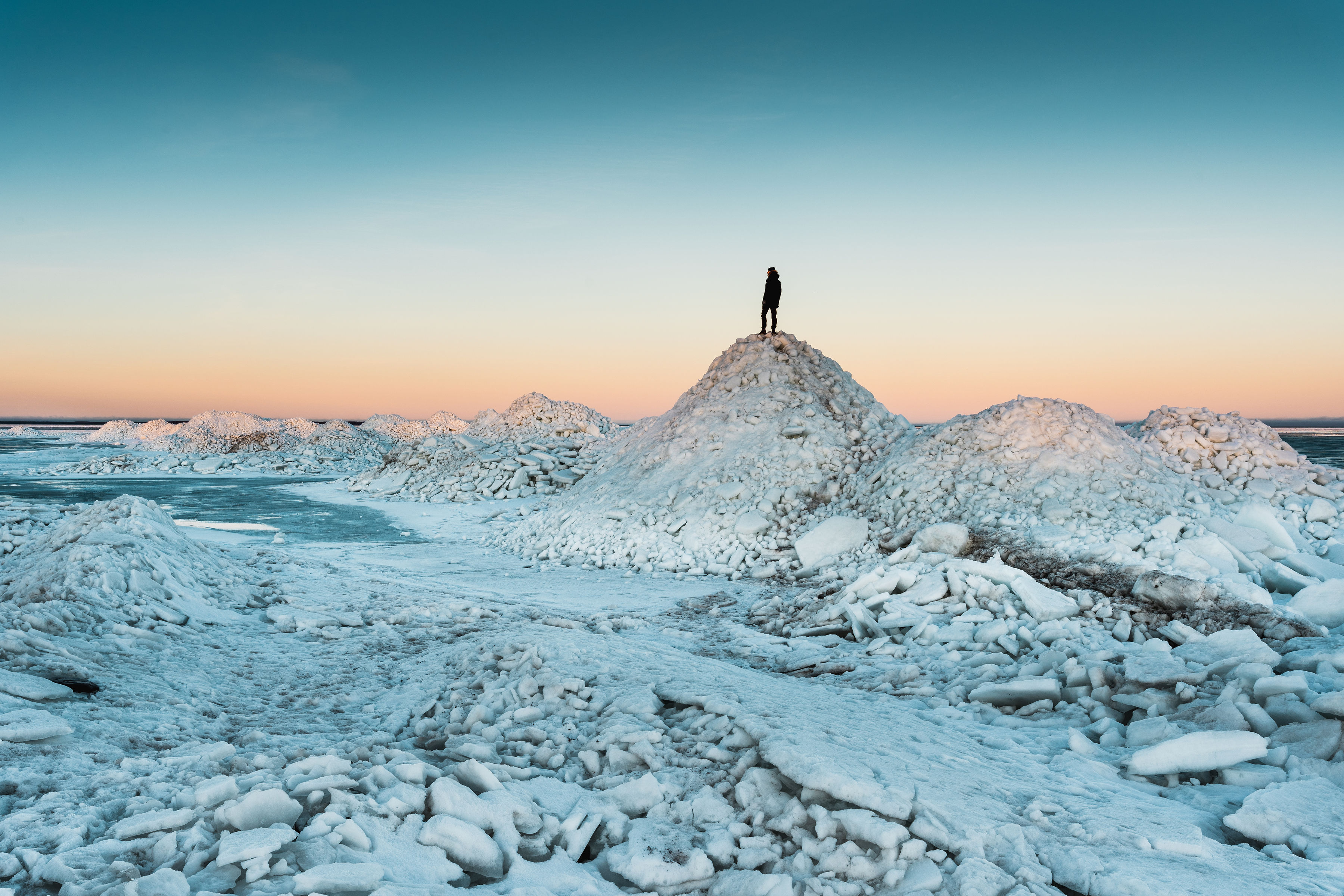
Oandu-Aegviidu-Ikla RMK Hiking Route
Length: 370 kilometers
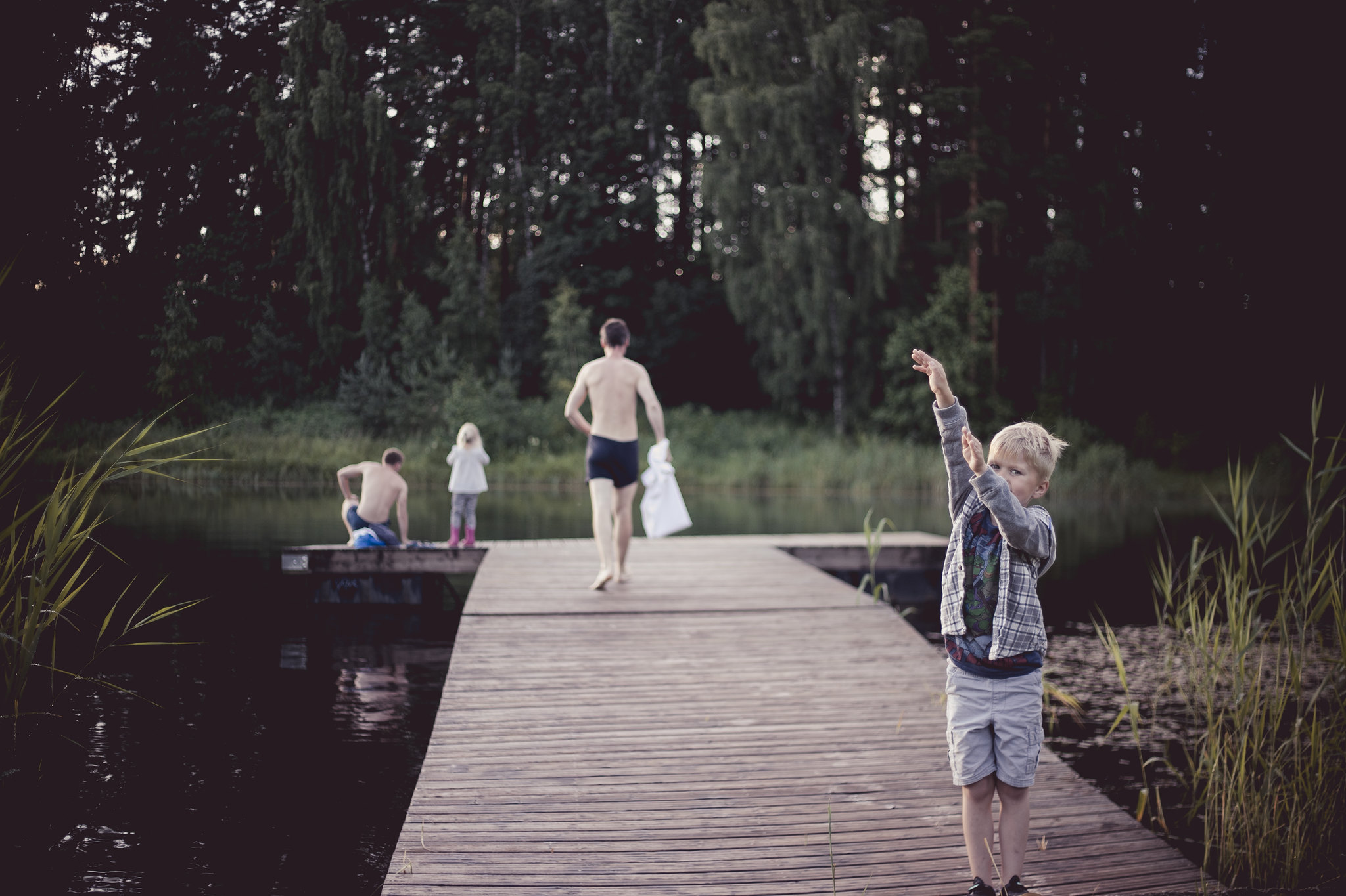
This hiking trail runs north to south across Estonia, offering hikers a coast-to-coast journey from Lahemaa National Park to the sandy beaches of Pärnu County. The trail winds through scenic landscapes like Kõrvemaa Nature Reserve and Soomaa National Park, known for its vast bogs and seasonal flooding.
Trail markers: white-red-white
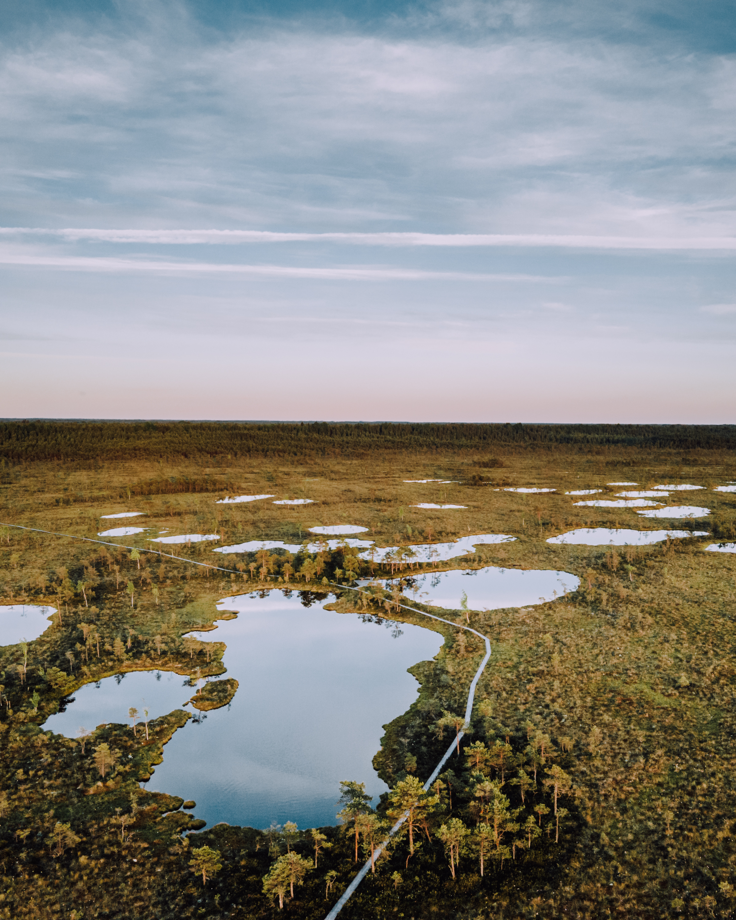
Photo author: Rivo Veber
Peraküla-Aegviidu-Ähijärve RMK Hiking Route
Length: 812 kilometers
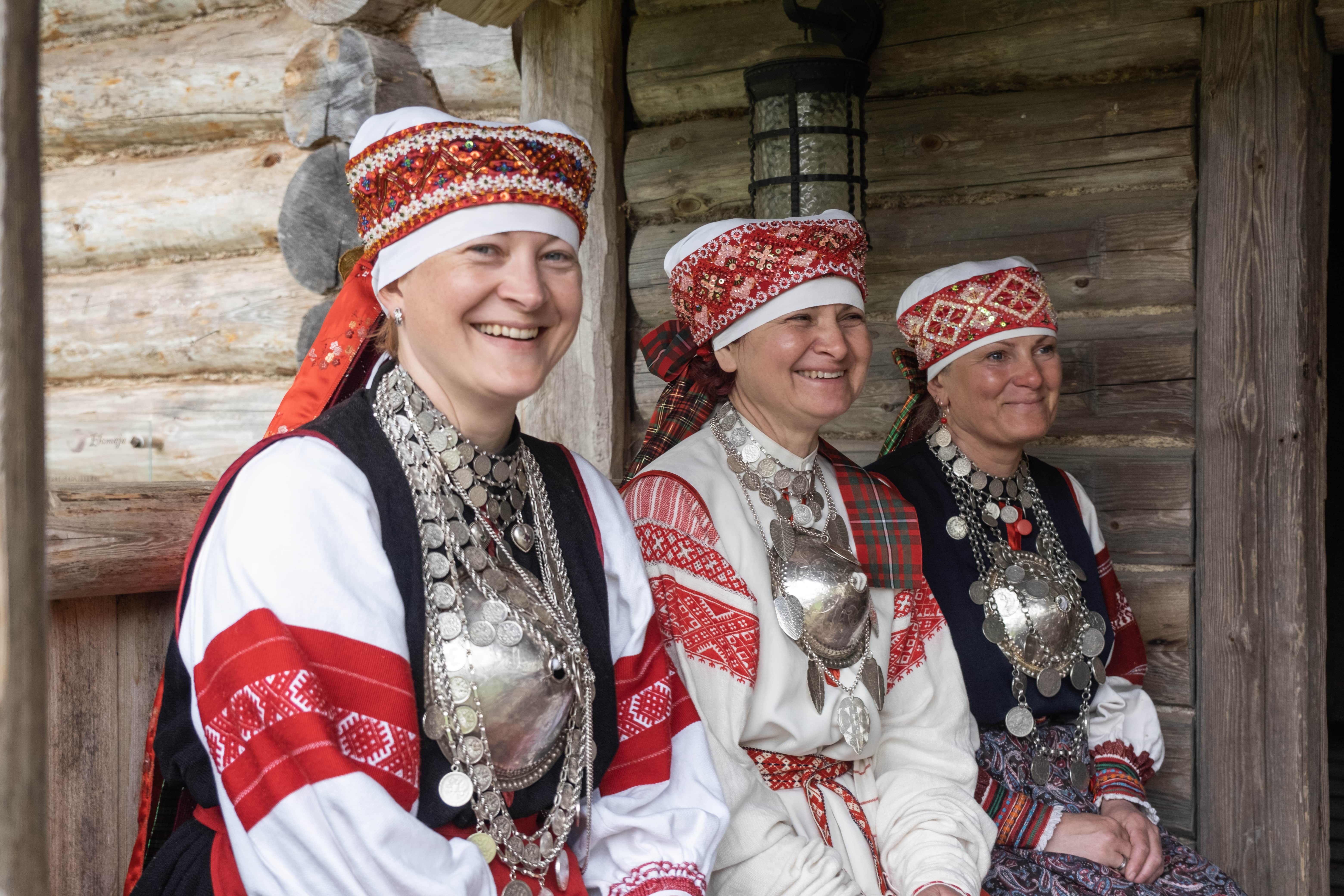
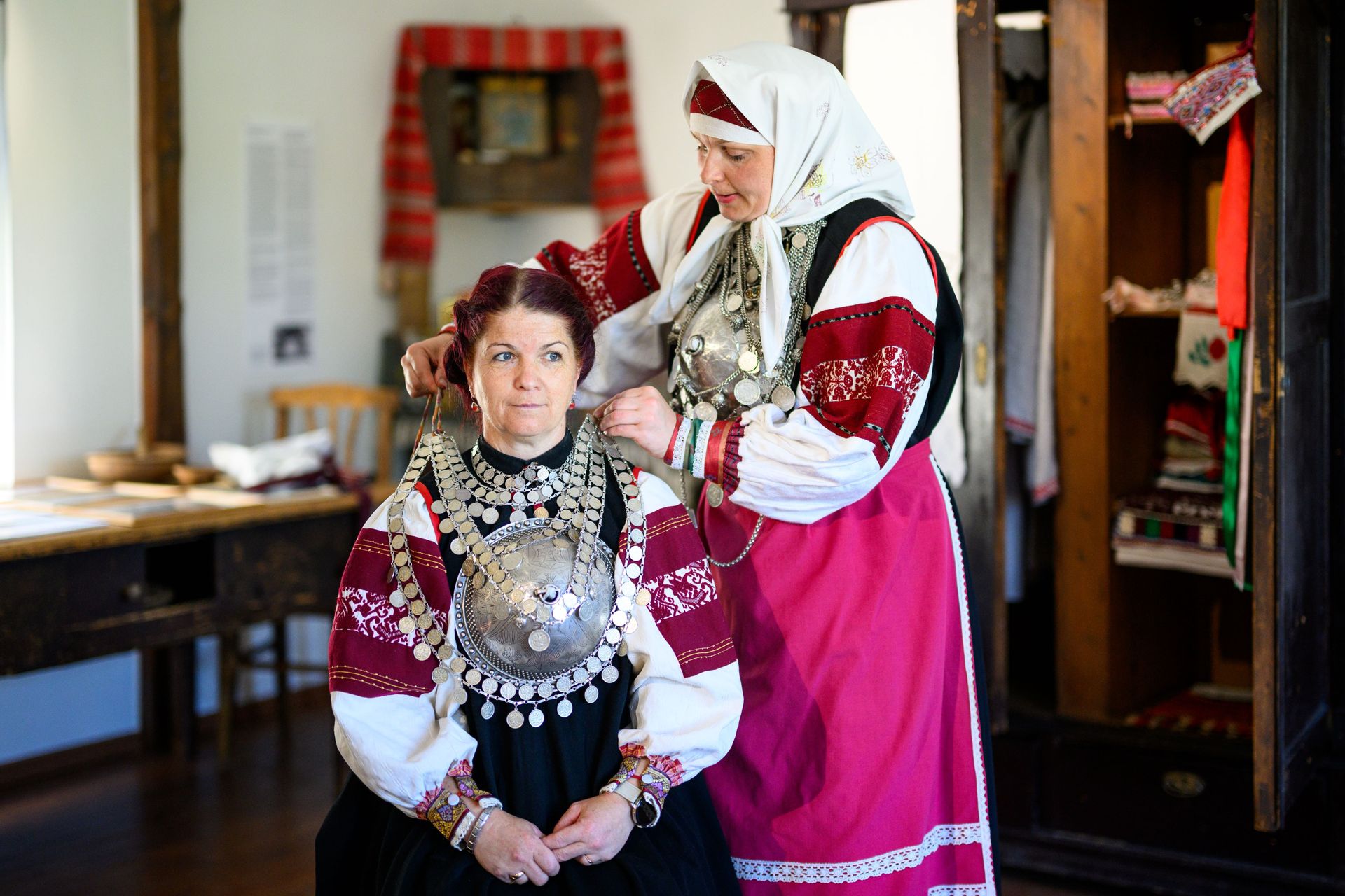
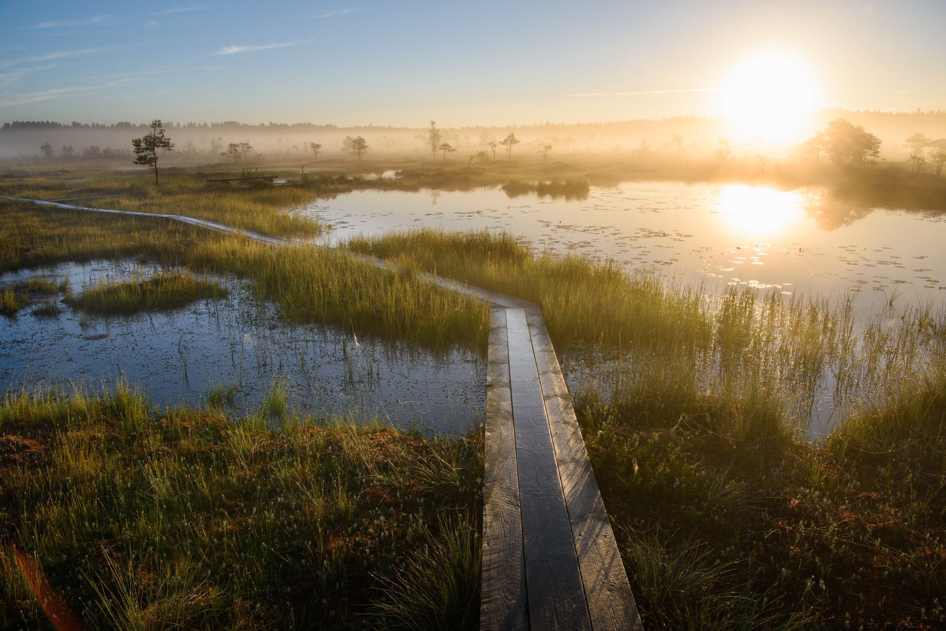
This hiking route traverses some of Estonia's most diverse landscapes, showcasing the country’s quiet natural beauty. Starting in Peraküla, hikers pass through the picturesque beaches of West Estonia, the dense forests of Harju County, and the fertile fields of central Estonia, then loop through Võru County before ending in Karula National Park. Linger in Setomaa for a closer look at one of Estonia's unique regional cultures.
Trail markers: white-green-white

Photo author: Võrumaa Arenduskeskus, Sven Zacek
Penijõe-Aegviidu-Kauksi RMK Hiking Route
Length: 613 kilometers
This trail starts at Penijõe Manor in Matsalu National Park, one of the best birdwatching spots in Estonia. It stretches through six counties, passing through wetlands, forests, post-industrial areas, and coastal cliffs before ending at Kauksi on the northern shore of Lake Peipsi.
The most dramatic landscapes along this long-distance hiking trail are the industrial areas of Ida-Viru County. It passes the turquoise waters of Aidu Quarry and then heads to the northern coast to the highest waterfall in Estonia, Valaste Waterfall.
Trail markers: white-yellow-white
Photo author: Valmar Voolaid
All trails converge in Aegviidu
Take the train from Tallinn to begin your long-distance trek across Estonia.
Aegviidu is about 45 minutes from Tallinn by train. It also makes a good base for outdoor exploration on a day trip from the city.
Once you get off the train, you'll see the Aegviidu Health Depot (Tervisedepoo). You'll find a bathroom there, plus equipment rental, and a hot sauna on weekends. Outside the depot, there's contactless bike rental during the summer season. There are light traffic paths next to the roads for bikers, and well-maintained hiking trails connect Aegviidu with the nearby villages of Nelijärve and Jäneda. Across the street, there's an RMK visitors' center and a circular trail through the forest and bog that's perfect for kids!
Heltermaa-Ristna-Sarve RMK Hiking Route
Length: 234 kilometers
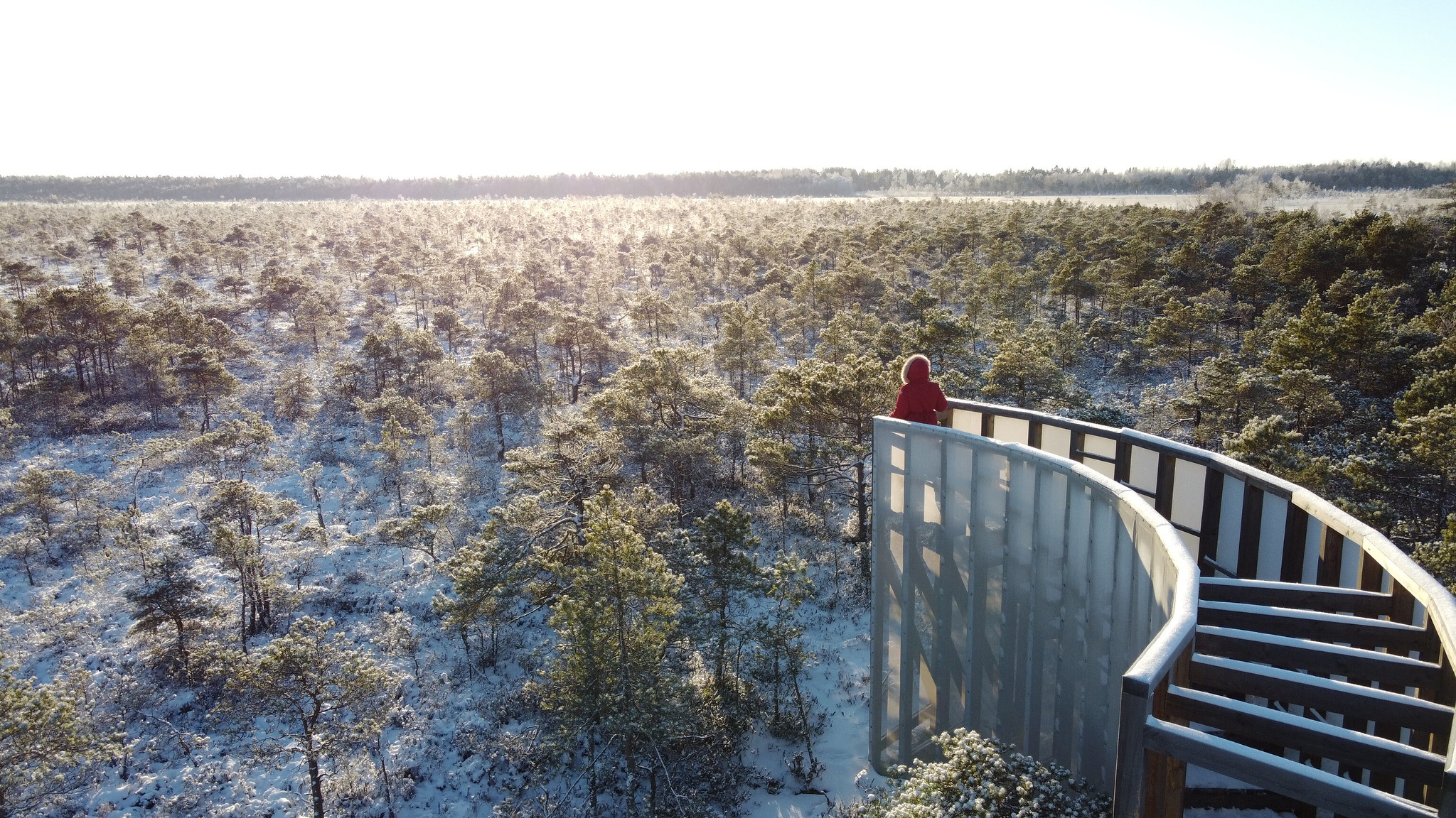
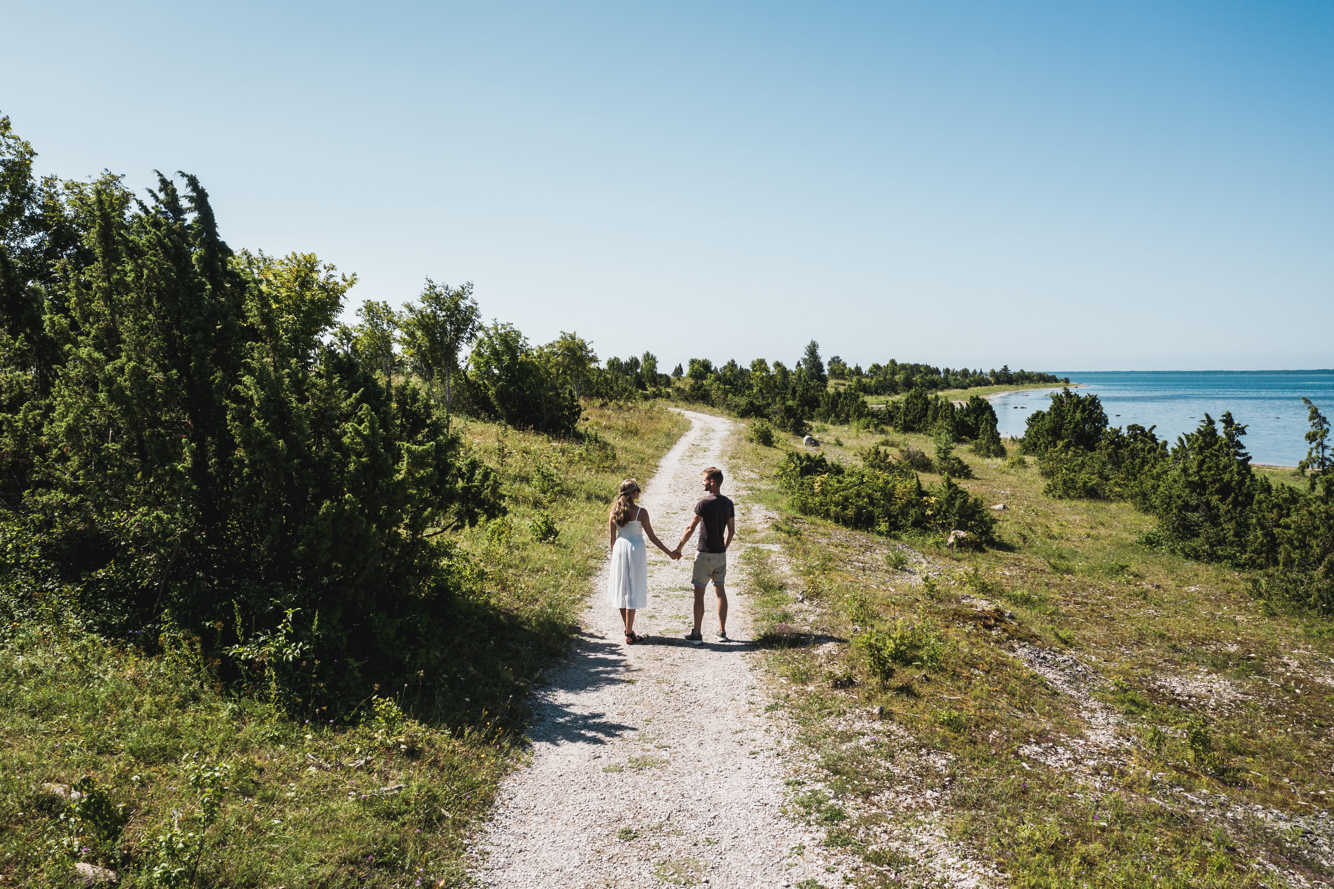
This is the shortest of the four RMK Hiking Routes and the only one on an island. It traverses Hiiumaa’s diverse landscapes and stunning natural beauty. Starting at Heltermaa Harbour, the trail follows local village roads before transitioning into a wild nature path after Kärdla, the island's capital. The trail passes through the Tahkuna Peninsula’s forests and historic military sites, over dunes, and along sandy beaches.
Trail markers: white-green-white

Photo author: Ivo Panasjuk

Get inspired
Last updated
23.12.2025
